Beaches
Endless white sandy beaches, turquoise lagoons and clean, warm seawater are what Mauritius is famous for. A coral reef runs along almost the whole coast, and it is the main reason for these beautiful beaches and lagoons. The coastline of Mauritius is more than 300 km long, and you can find nice sandy beaches almost everywhere. Many of them lie next to the big hotels, but all beaches in Mauritius are public. The coast also offers the best conditions for all kinds of water sports.
Here are short descriptions of the nicest beaches, grouped by region.
East coast
Blue Bay
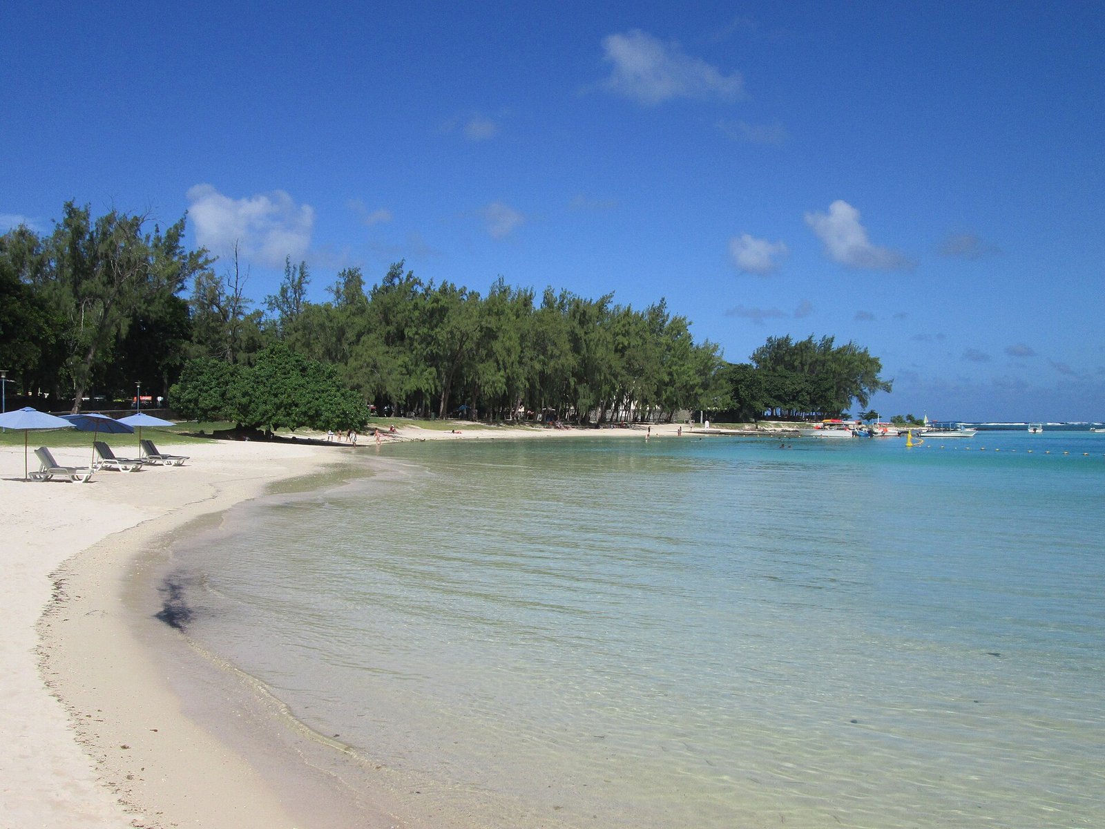

Blue Bay, in the south-east of Mauritius, is named for its deep blue colour. Once you reach the bay, you know where the name comes from: the colours of the sea are incredibly intense and made up of many different blues. Blue Bay has a very nice public beach, perfectly suited for swimming and relaxing. Like the whole south and south-east, it is not much developed for tourism, so the beach is very quiet during the week. At weekends, however, it feels as if half the population of Mauritius has come here to spend a few free days by the sea. If you walk a little way along the bay to the left, you first pass a hotel. Keep going and you reach a series of small, lonely, beautiful bays, which are quiet even at weekends.
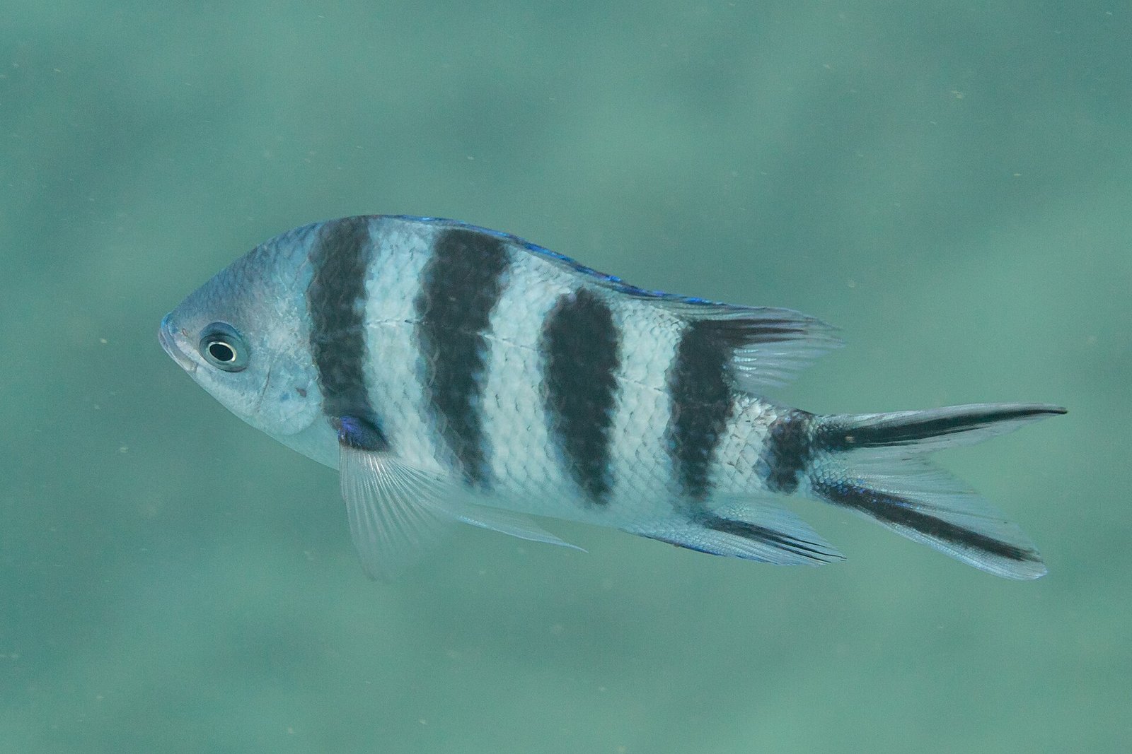

Blue Bay is particularly famous for its snorkelling trips. The 353-hectare area of sea just in front of the public beach was declared a national park in 1997 and has been a Marine Park since 2000. Since 2008 it has also been a Wetland of International Importance under the Ramsar Convention. The reason for this protection is the unusual and unique coral gardens found here. The marine ecosystem is rare and beautiful, with many different species of flora and fauna, above all the corals, which are in an incredibly good condition. About 38 species of coral and 72 species of fish have been found in the area, and some of the corals are up to 800 years old. Opposite the public beach is a visitor centre of the Marine Park where you can get information about the park.
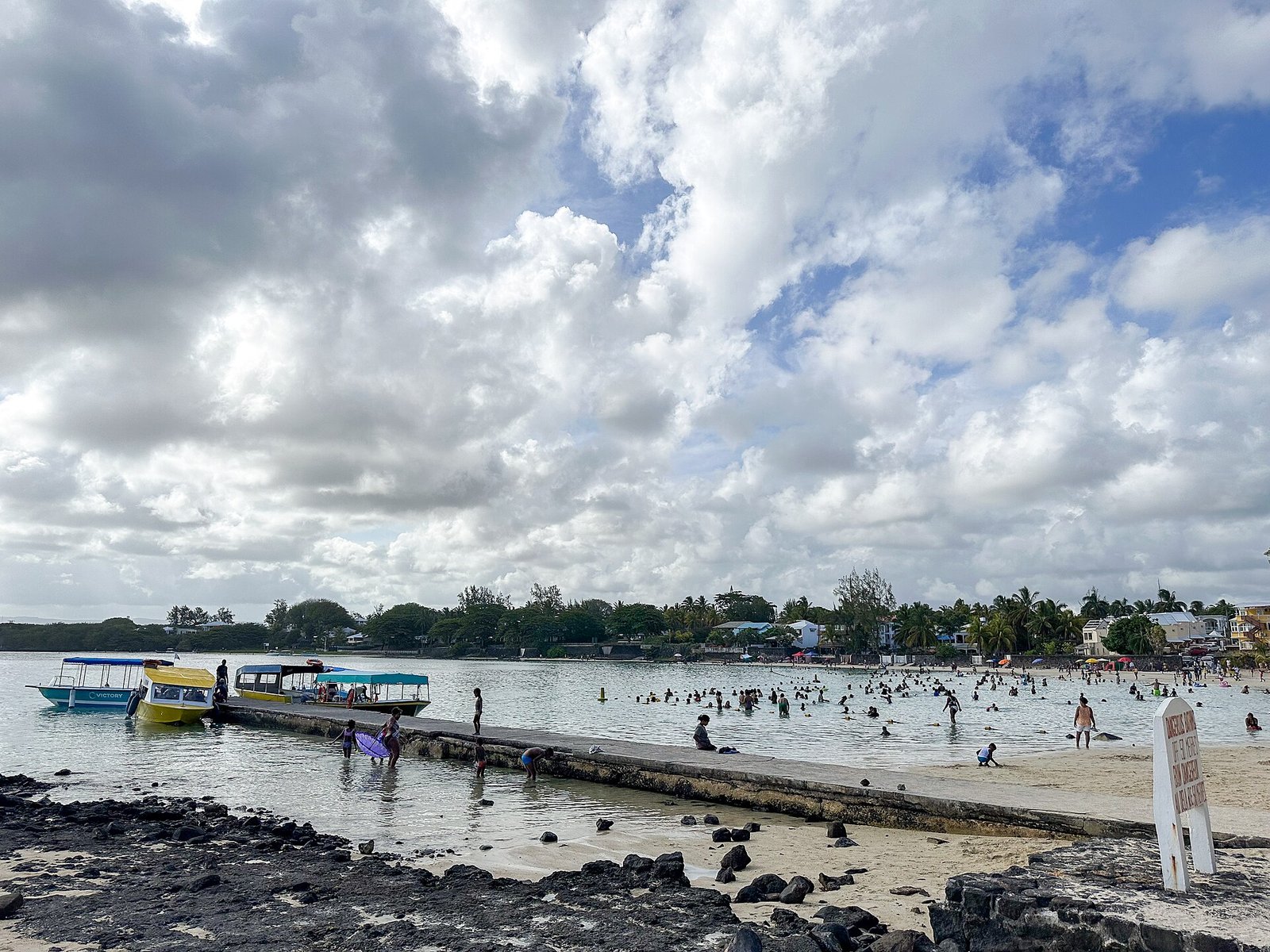
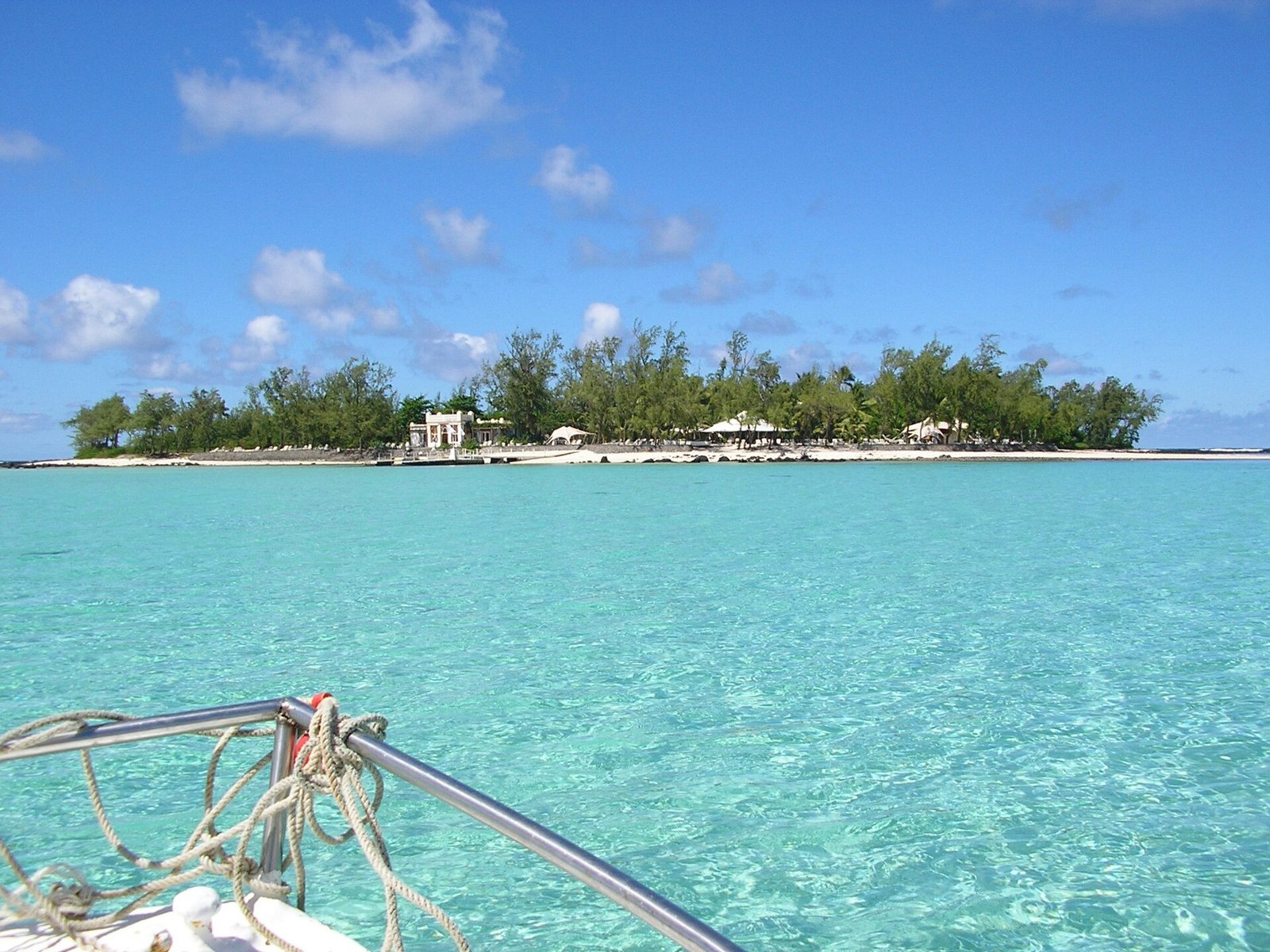
The best way to see the park is on a glass-bottom boat. The trip takes between one and a half hours and several hours. First the boat takes you through the park, which is an experience in itself. Through the glass bottom you have good visibility down to the sea floor, and the skipper will most probably tell you about the different corals and fish. Afterwards the boat anchors and you can go snorkelling. The underwater world is really unique: the centuries-old coral garden and the many fish that pass by make you feel as if you were part of it. Depending on what you arrange with your skipper, you can then visit the Ile des Deux Cocos, which has some beautiful beaches. The skipper picks you up after a while and brings you back to the public beach of Blue Bay.
Many skippers on the beach of Blue Bay offer the glass-bottom boat trip, or you can go to the visitor centre and ask for a skipper. The price depends on the length of the trip and the season. Try in any case to negotiate a good price.
Belle Mare
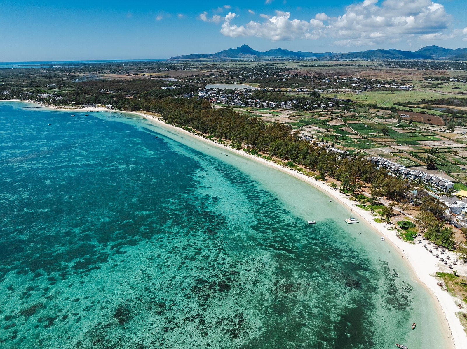

Some of the most beautiful beaches on the island lie along the east coast. One of them is the beach of Belle Mare, a white sandy beach that stretches for miles to the next small village, Trou d’Eau Douce. Because of its length, it is perfect for jogging and for endless walks along the coast. If you walk along the public beach to the right, you pass one of the best hotels in Mauritius. Another special feature of Belle Mare is the combination of colours: the deep turquoise lagoon meets a clean white beach, bordered by lush green grassland with many trees and plants that offer plenty of shade.
Be careful when swimming, though. The sea has a fairly strong northward current, so stay close to the beach and do not swim too far out.
West coast
Flic en Flac
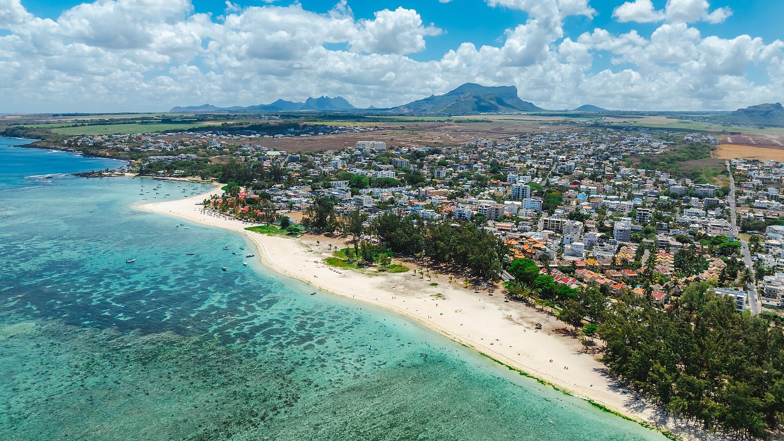

The beach of Flic en Flac on the west coast is one of the longest beaches on the island. It covers a long stretch of the coast and is perfect for endless beach walks. If you walk south along the beach, you reach the next village, Tamarin, after approximately 1 ½ hours, where you will find another gorgeous beach as well as one of the best surfing spots in Mauritius.
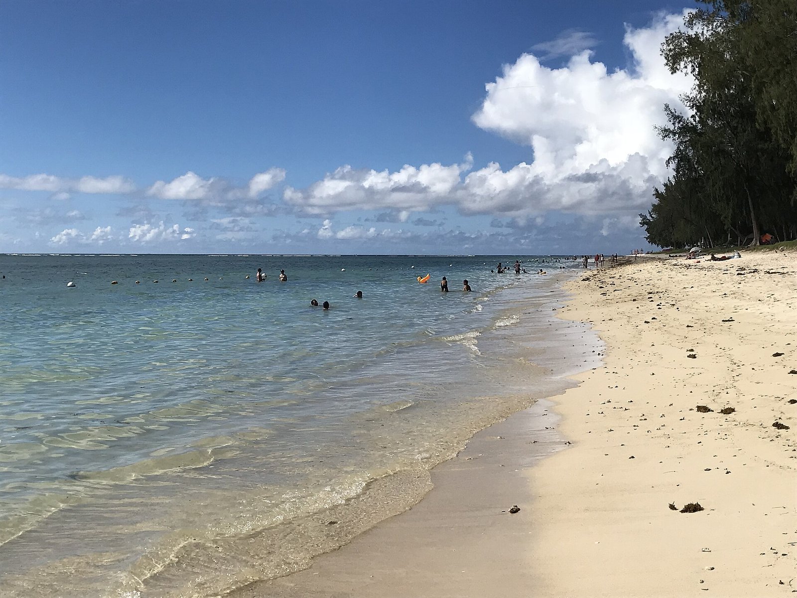

Flic en Flac is a natural beach, which is why corals, sea urchins and shells wash up on the shore and make it special and unique. The turquoise lagoon is ideal for swimming, without strong currents. You do need to watch out for the sea urchins in the water, and the best protection is to wear swimming shoes, which you can buy in the supermarket, for example. On weekdays the beach is quite empty and calm. At weekends it is well visited by locals, who come to camp and enjoy their days off. At the northern end of the beach there is a beach volleyball net that anyone can use, and almost every day after 5 pm you will find some players for a match.
Tamarin
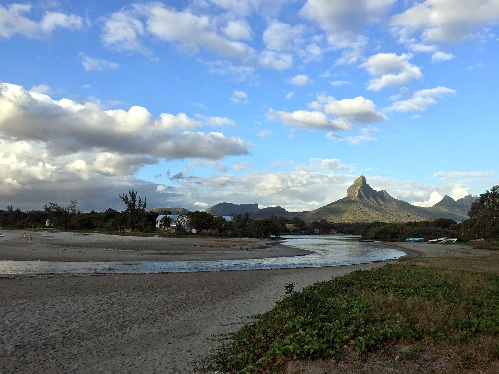

The bay of Tamarin is a sight you should definitely visit during your stay in Mauritius. This small village has a special atmosphere and charm and is one of my favourite places in Mauritius. First of all, there is the Tamarin River, which comes down from the highlands and ends in the bay, giving a gorgeous view over the river land and the neighbouring mountains of the Mauritian highlands. The river cuts the beach of Tamarin in two parts, and you can get from one part to the other by crossing the river on foot. When it rains a lot and the tide is high, the water in the river can be quite deep, but most of the time it is not a problem to cross.
Another special feature is the sea floor, which consists only of sand and some stones. You do not need to worry about sea urchins and corals, so there is no need for swimming shoes. Tamarin Bay is also one of the rare places without an offshore reef, so the sea here is rougher, and in the right weather conditions you can see metre-high waves rolling into the bay. In the shallow water of the bay it is not dangerous to swim, surf and enjoy the waves. Only sometimes can the sea have a very strong current that can pull you out into the deep sea, but if there is a current you will not see anybody in the water. It is always a good idea to ask locals before swimming anywhere you do not know the water.
Because there is no offshore reef, Tamarin is one of the best surfing spots in Mauritius, especially for beginners. You can find more information about surfing in Mauritius in the water sports article.
On weekdays the bay is very lonely and calm, and you may have the entire beach to yourself. At weekends, especially on Sundays, all the locals from the surrounding area meet at the beach to enjoy the sun and the sea. On Friday and Saturday nights there are often people who set up a campfire and sing, dance, drink and party on the beach.
La Preneuse
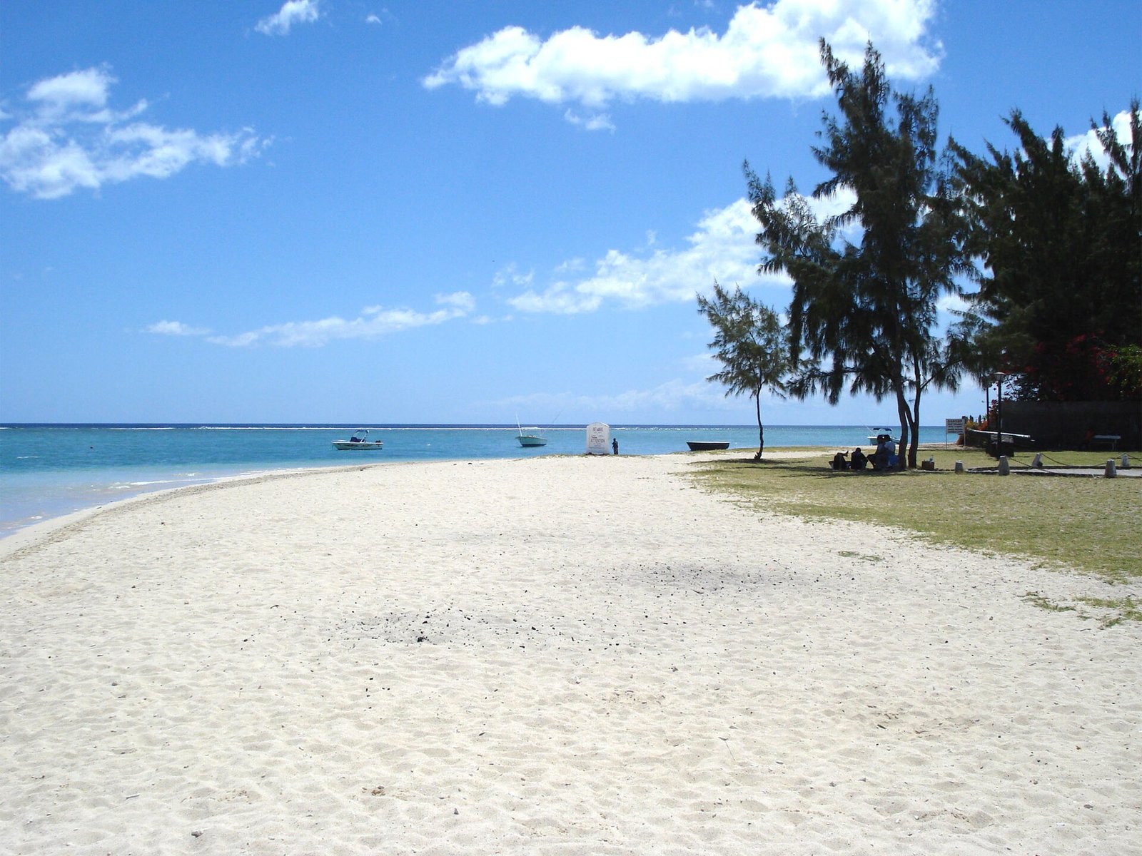

About 5 km south of Tamarin lies the village of La Preneuse with its nice small bay and a small public sandy beach. It is a very interesting place for snorkelling: the offshore coral reef, once destroyed, is growing again and offers very nice underwater views. The sea is safe for swimming, but it is better to swim a bit to the south of the main entrance of the public beach, because there can be a slight current on the other side. You will find a sign on the spot. La Preneuse is also very nice for watching the sun set over the Indian Ocean if you prefer a lonely place. In front of the public beach there is a Martello tower, built by the British in the 1830s to defend the coast, together with some old cannons, which give you a little impression of the island’s history.
South coast
Le Morne
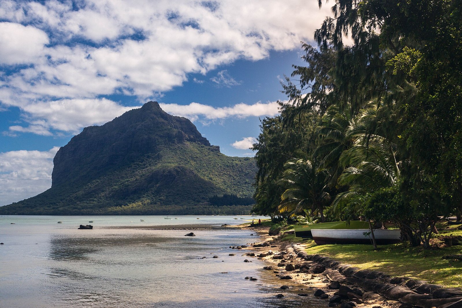

Le Morne is a small village in the south-west of Mauritius, founded by former slaves. Its beaches are on the peninsula at the foot of the Le Morne Brabant, a mountain approximately 550 metres high. Since 2008 the Le Morne Brabant has been a UNESCO World Heritage Site, above all because of its tragic history. In the 18th and early 19th centuries, hundreds of escaped slaves hid on the mountain for fear of their owners. According to oral tradition, when men finally came to bring them the news of their release and freedom, many of the slaves, terrified, jumped from the high cliffs before the men could reach them. Since this sad event, the Le Morne Brabant has been a symbol of the slaves’ fight for freedom.
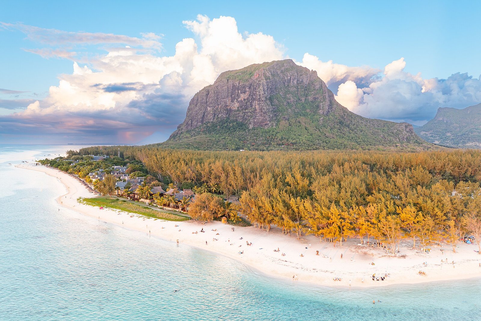
From the main road a junction leads up to the peninsula, and if you follow this road you reach the public beach of Le Morne. The white coral-sand beach is very beautiful and a weekend destination for many locals. A special feature is the very clear water, which offers beautiful visibility. Beware of the current when you go swimming, as it is sometimes strong, but bathing is generally safe here. The trees that border the beach also provide good shade.
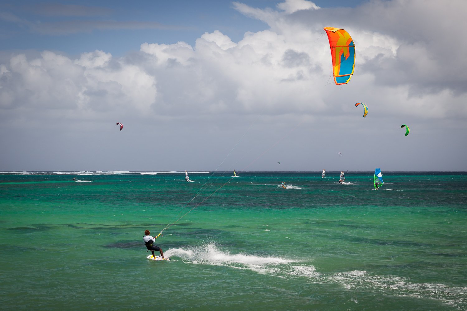
If you take the road a little further, you come to the next beach of Le Morne, which is particularly popular with windsurfers and kitesurfers. Perfect wind conditions are given almost all year round. Even if you do not surf yourself, it is worth a trip to the beach to watch the professionals. Swimming is also possible at this beach, but you should stay a little to the left of the surfers, because otherwise unpleasant collisions may occur. If you prefer a calm and sheltered beach, choose the first of the two beaches of Le Morne.
Ilôt Sancho
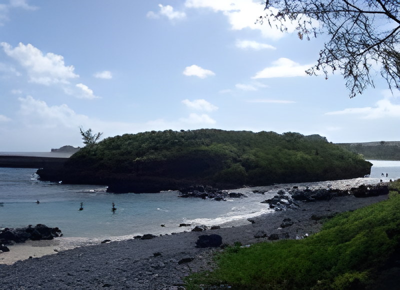
The small island of Ilôt Sancho lies in the southern part of Mauritius between Bel Ombre and St Félix. You can reach it on foot from the beach of Rivière des Galets by crossing the very shallow sea at this spot. The island itself is very small, and you can walk around it in approximately 10 minutes. There is not much to see except a small forest, but it is a nice place for a short visit. In the past, Ilôt Sancho was a favourite place for pirates, who buried their loot here.
In front of the beach of Rivière des Galets there is another surfing spot, which is not suitable for beginners because of the strong current and the shallow water over the coral reef. A surf competition is held here once a year in November or December, where you can watch the best local surfers. The sea at this spot is not really suited for swimming, but on the right part of the island you can swim and enjoy the sea.
St Félix
The public beach of St Félix is another beautiful beach in the south of Mauritius, between Bel Ombre and Souillac. St Félix actually has two public beaches, but the second one, coming from the direction of Le Morne, is much more beautiful. To get there, continue on the road after the direction sign to the public beach of St Félix until you reach a roundabout, where you take the third exit. From here you can already see the sea. The beach is wonderful: the exceptionally white sand flows into the turquoise green of the Indian Ocean and contrasts beautifully with the green trees of the hinterland. The beach is very lonely and an excellent place to chill out and relax.
A small disadvantage is that bathing is problematic. First, the lagoon floor is covered with corals, among which you may find a stonefish, a highly toxic fish. Second, the current can be quite strong and should not be underestimated.
Rivière des Galets
A very different kind of beach lies in the south, at the Rivière des Galets.
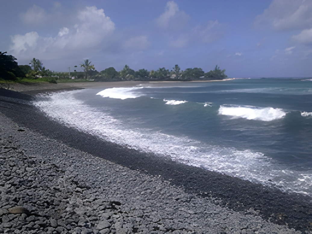
For ages the river has rolled stones down to the shore, and the ebb and flow of the sea have sculpted them smooth. Neither the river nor the sea would want them taken away.
It is a great place for a picnic or just to enjoy the forces of nature. You can smell the sea and the mountains, hear the water and the movement of the stones, and see the waves, so it is an experience for all the senses.
The beach is located between Souillac and Bel Ombre. If you follow the coastal road from east to west, it comes soon after the public beach of St Félix.
This is not a beach for bathing, but it is a very impressive place in the south of the island. In general, bathing in the south is more dangerous than on other beaches, because here the island is not protected by the reef. The currents are dangerous, and sharks cannot be ruled out outside the reef.
North coast
Mont Choisy
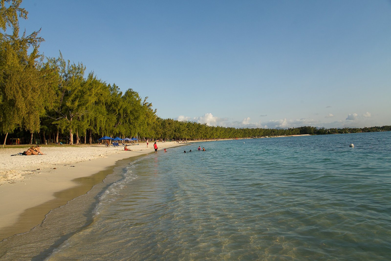

The public beach of Mont Choisy lies between Pointe aux Canonniers and Mont Choisy, not far from Grand Baie. It is one of the longest and most beautiful beaches in Mauritius, and you can walk along it for about 3 kilometres. Many sports, such as jogging, aerobics and waterskiing, are also possible here.
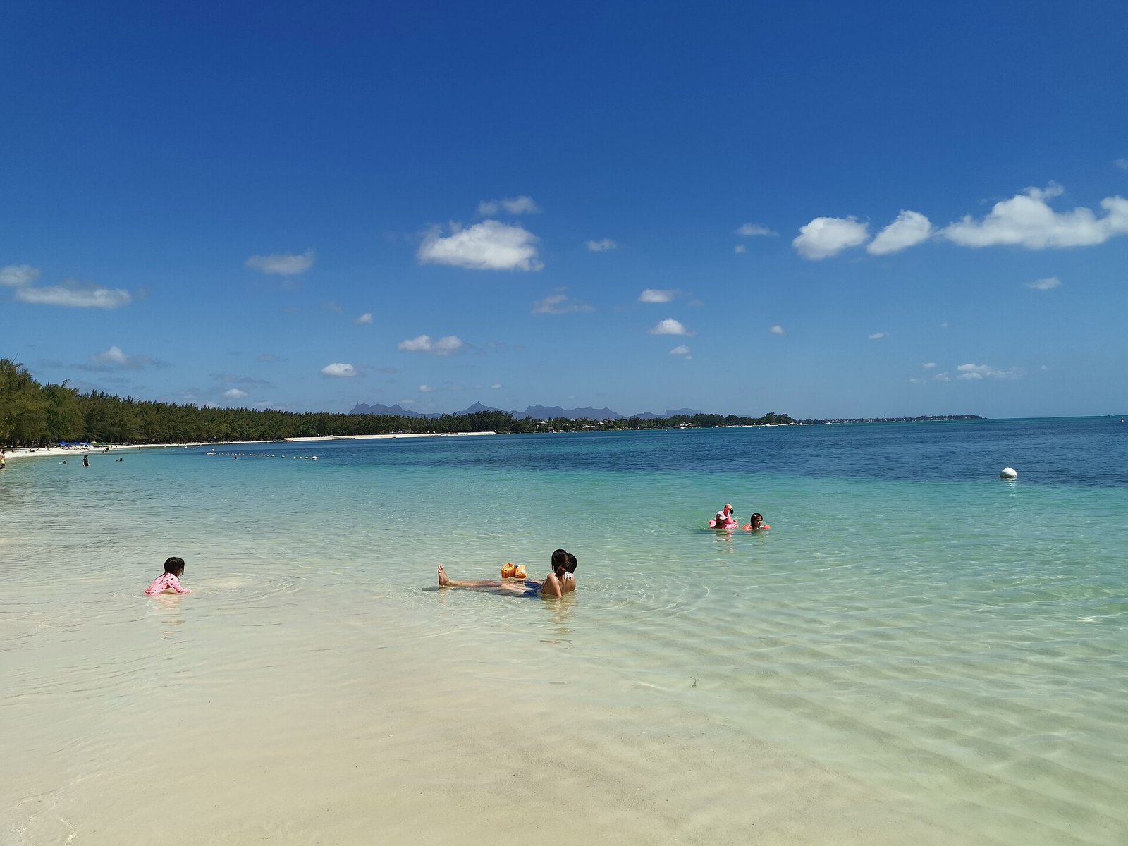

During the week only a few tourists share the huge sandy beach, so there is more than enough space to enjoy the sun. If you would like a bit more comfort, you can rent sunloungers and sun umbrellas at the southern end of the beach near Mont Choisy. From there it is only a few minutes’ walk to the Hindu statues close to the ocean.
Although the beach is very quiet from Monday to Friday, it is crowded with locals at weekends, especially on Sundays. Many people come to spend the weekend at the beach and have a good time with the whole family. They bring food, tables, chairs, music and anything else they might need. It is not really relaxing, but spending a weekend day at the beach is an interesting and fun experience.
If you feel hungry, you can go to one of the many stands in the shade of the filao trees and have a little snack.
Pereybère
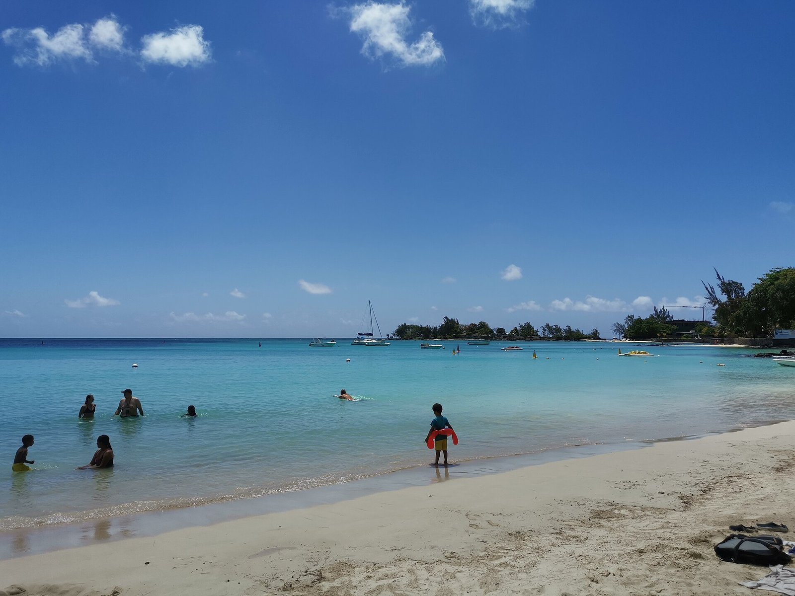

Pereybère has a nice, busy public beach in the middle of the village, a few minutes’ drive from Grand Baie, visited by locals and tourists alike. Lying on the white sand in the bay, you can watch the turquoise sea and the catamarans that pass by from time to time. There are many bars and restaurants around, offering food for every taste, from Chinese to European and Mauritian cuisine. You should also try the doner kebab sold from little carts. It is really tasty, but be careful: the spicy sauce is really spicy!
La Cuvette
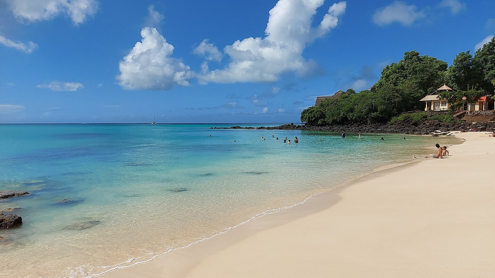

The public beach of La Cuvette is only a few metres from the centre of Grand Baie. If you drive from Grand Baie to Pereybère, you will see a little sign on the left showing the way to the beach. From the beach you can easily walk along the shore to the centre of Grand Baie in around ten minutes, where you will find the little but famous fish market. If you do not mind the hygiene, you can buy fish that was caught only minutes before.
Trou aux Biches
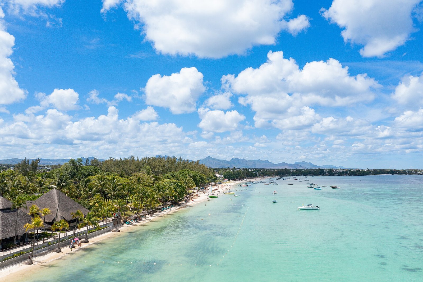

This beach is great for sunbathing, snorkelling and all kinds of other sports. Trou aux Biches is a fishing village, so there are many boats in the water, but there is still enough room to swim a bit. Some people even call it one of the best beaches in Mauritius, as the water is very clear and the reef is close, so snorkelling is easy. You can also go waterskiing, parasailing, kayaking, boat racing, big-game fishing and diving. The beach is easy to reach, as a bus station is right in front of it. Buses to Port Louis leave regularly, and on the way you can stop at the beach of Pointe aux Piments. This beach is very natural, but bathing is not allowed because the current is quite strong and the beach is covered with rocks.